
Welcome to the Rainbow Trails
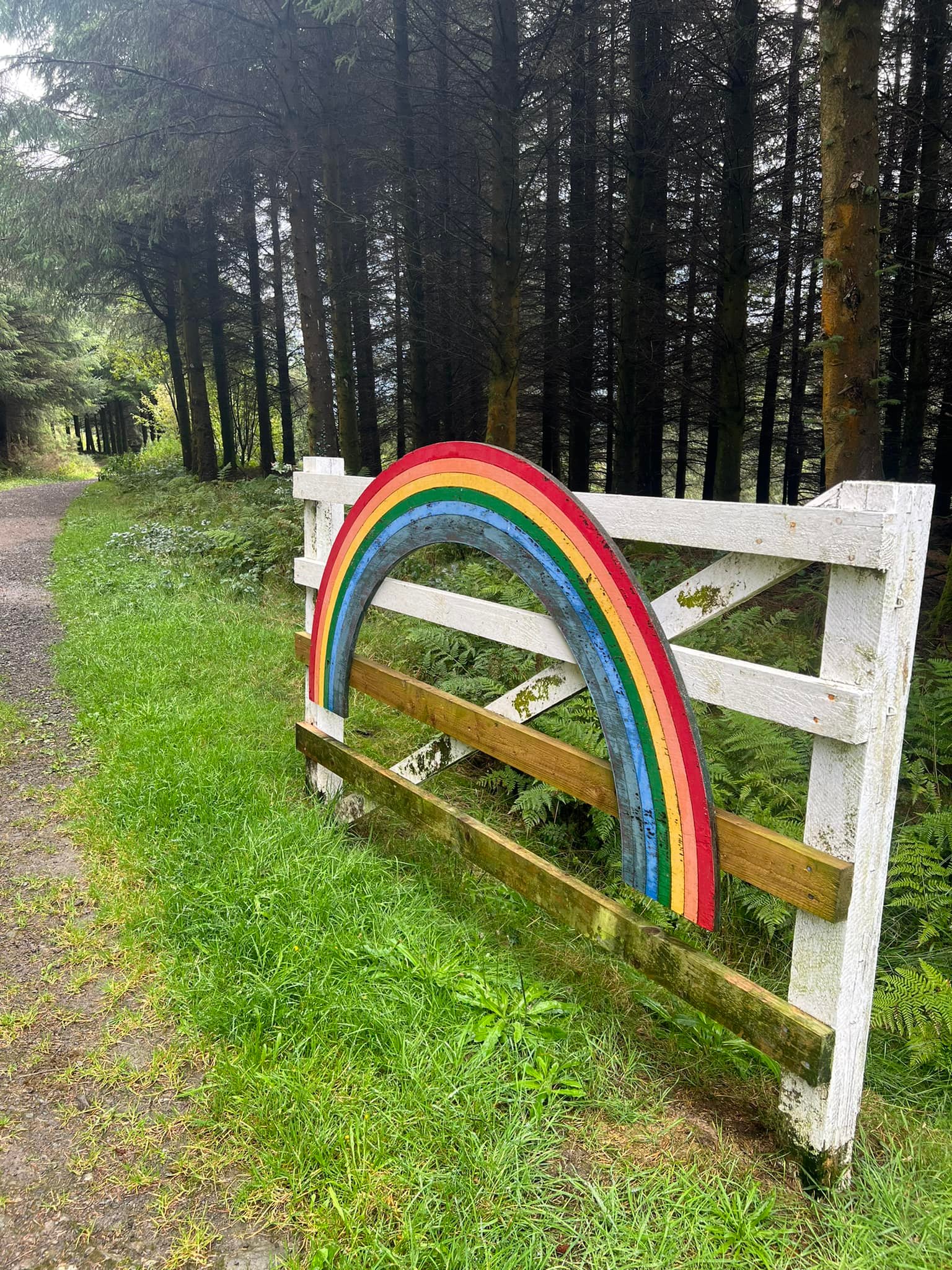
The Rainbow Trails are based in the Dyfnant Forest.
They were created with horse riders, carriage riders, walkers and cyclists in mind.
Dog walkers are very welcome too!!
WHERE TO FIND THE RAINBOW TRAILS
The Rainbow Trails are on the B4395 in-between Llangadfan and Llwydiarth.
WHAT THREE WORDS = modem.lush.fingertip

WHERE TO PARK.
There are TWO main places to park. Both have substantial turning circles and corrals for horses.
Pen y Ffordd Car Park
Pen y Ffordd Car Park is a purpose built, one way system enabling horse box drivers to roll in and roll out with ease.
There is ample parking for horse trailers and cars as well as 3 corrals for horses.
Hendre Car Park
Hendre Car Park is just before Pont Logel and has a large turning circle and 2 corrals and is the starting point for3 of the Trails in the Dyfnant Forest.

PLEASE TAKE ALL YOUR LITTER HOME.
KEEP ANIMALS UNDER CONTROL AT ALL TIMES.
NO FIRES ARE ALLOWED OVER THE RAINBOW TRAILS!

