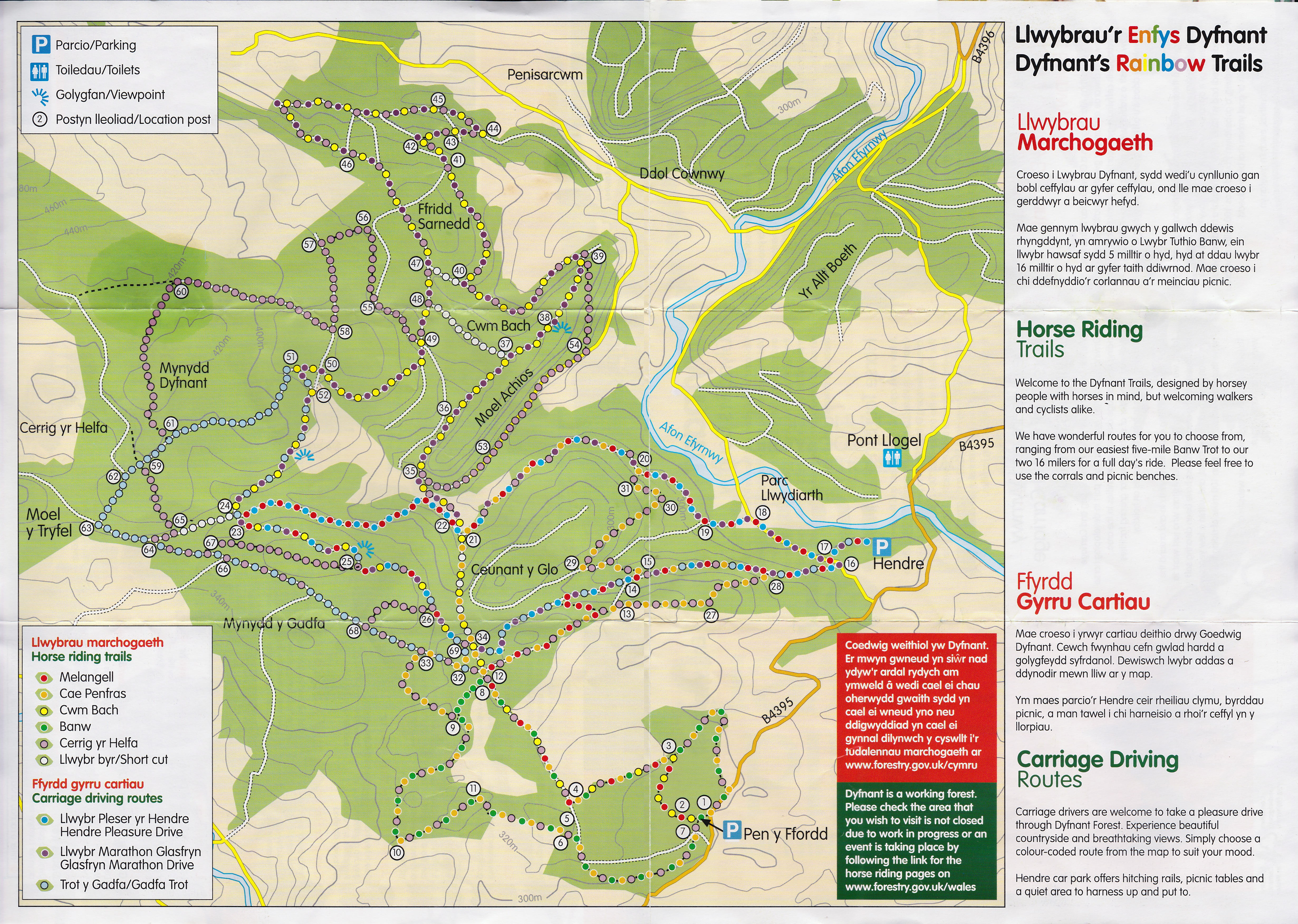
All the Trails are way-marked and colour-coded. The trails are a mixture of hard and soft tracks, from part-metalled to grassy. Sections can be stony if they have been resurfaced due to damage.
Information Boards with a large map are at the main car parks and the overall map and individual route maps are available below to print off. We are working on downloadable GPX files for each route and these should be available in the Summer.
For Help on routes suitable for you and your horse, e-mail us at admin@rainbowtrails.org.uk
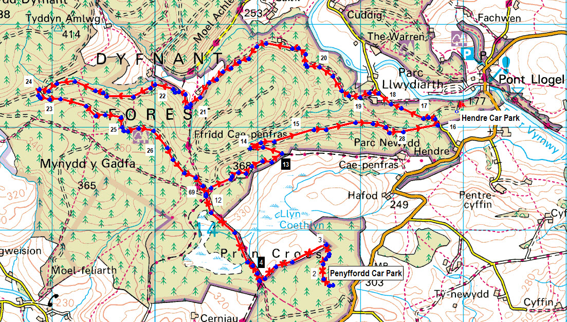
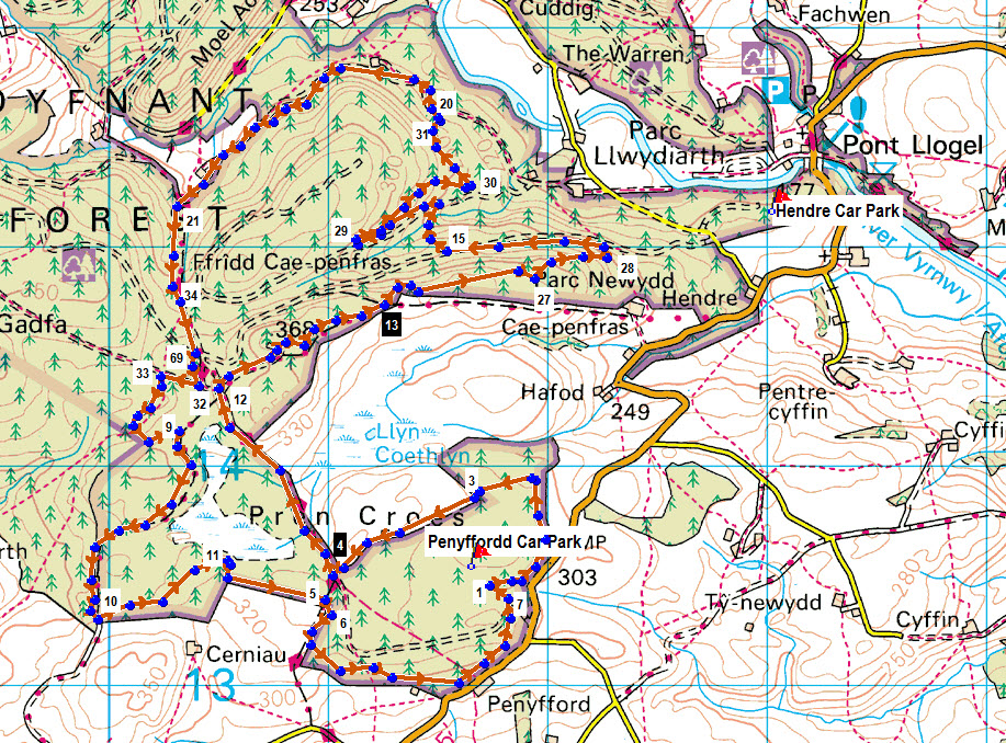
Click on the links for a map of each trail and its shortcuts.
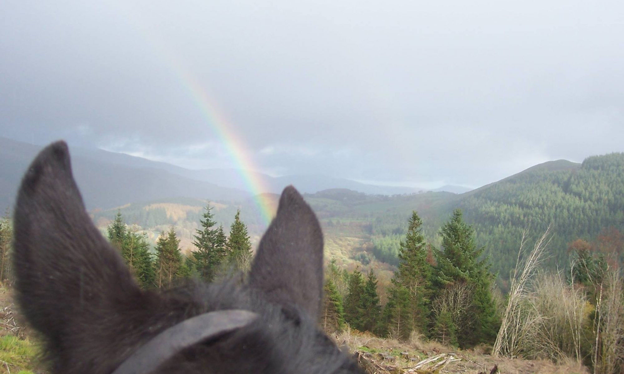
- Melangell Horse Riding Trail – red route (7 miles / 11 km) Follow in the footsteps of St. Melangell with a view of the craggy hill of Allt Dolanog.
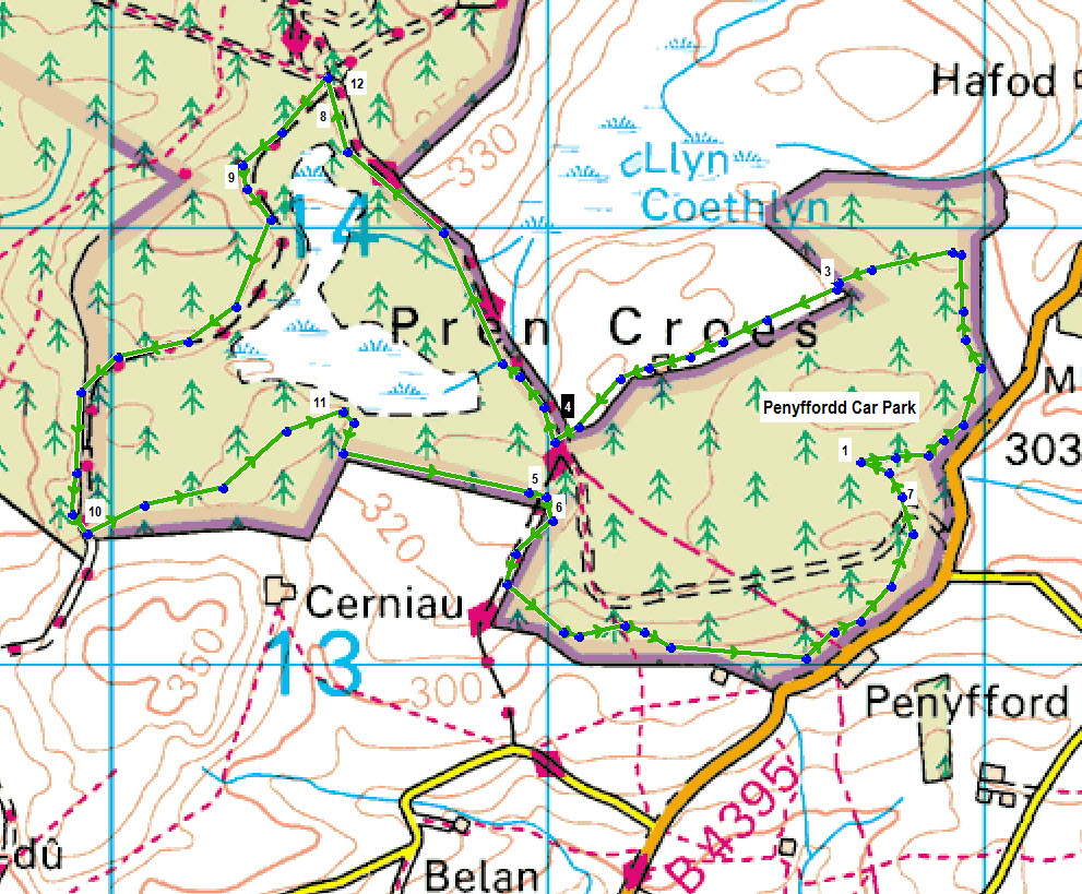
- Cae Penfras Horse Riding Trail – orange route (6 miles / 10km) Take in some amazing views of the Vyrnwy valley.
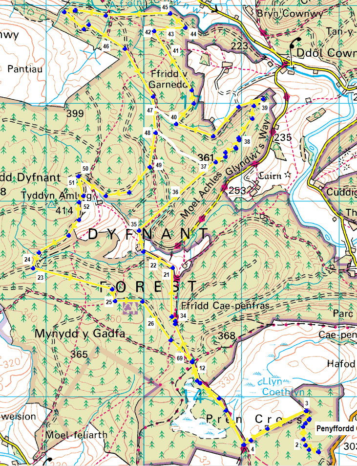
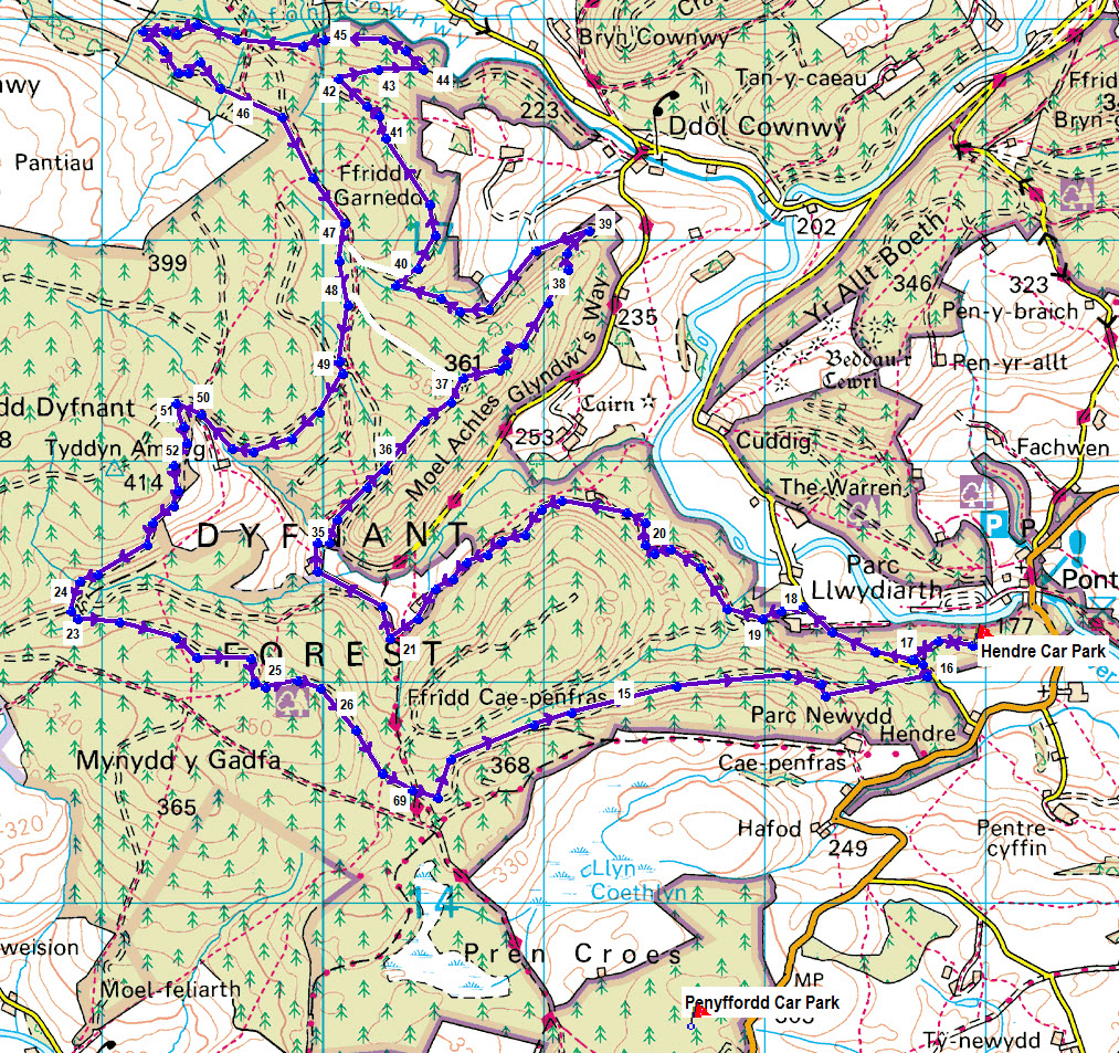
- Cwm Bach Horse Riding Trail – yellow route (16 miles / 26 km) Trot along part of Glyndwr’s Way National Trail with impressive views of the Conwy valley.
- Banw Horse Riding Trail – green route (5 miles/8 km) Enjoy excellent views of the Banw valley on this trail suitable for novice riders.
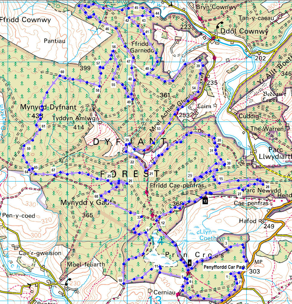
- Cerrig yr Helfa Horse Riding Trail – lilac route (16 miles/26 km) The trail leads past the Cerrig yr Helfa hunting stones and gives lovely views over the Arran and Berwyn mountains.
Carriage Drives
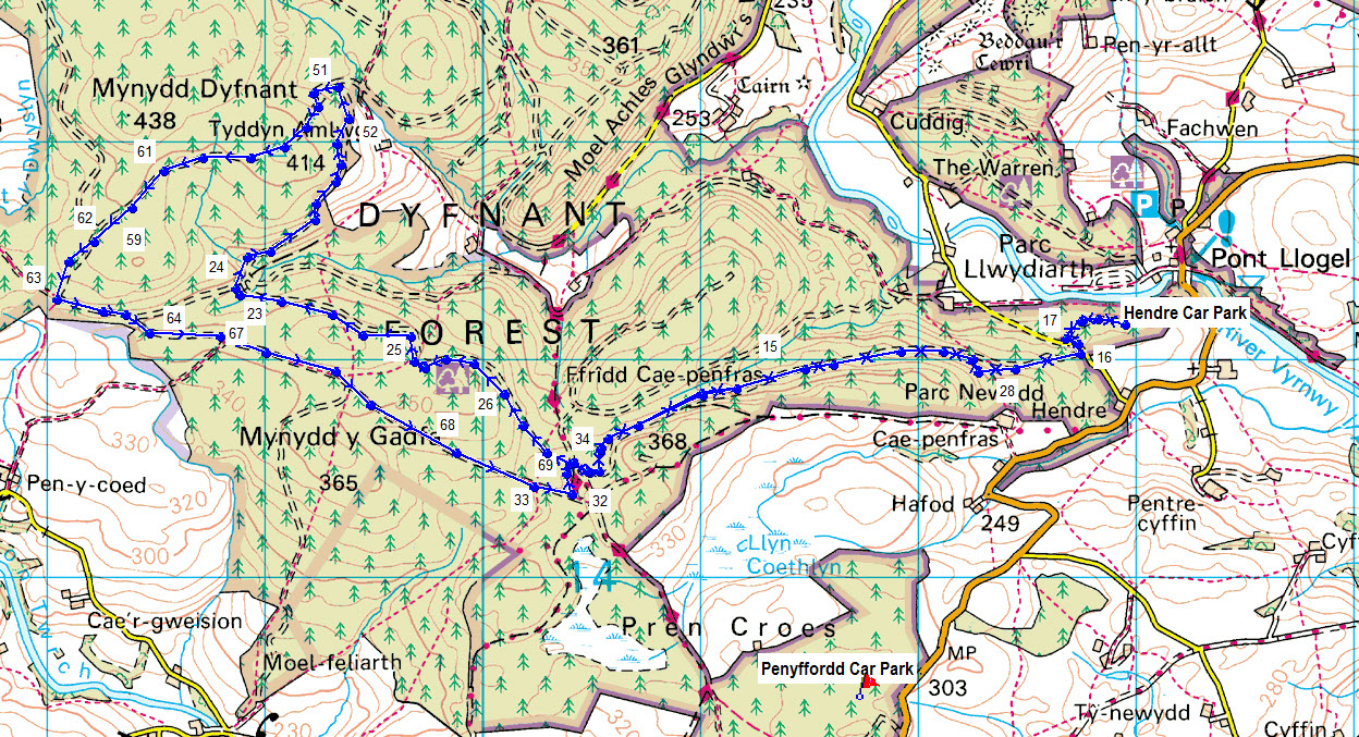
- Gadfa Trot – light blue route (7.8 miles/12.6km) A drive with amazing views and good going for most ponies.
- Hendre Pleasure Drive – blue route (5m/8km) A lovely short drive with amazing views of the craggy hill of Allt Dolanog.
- Glasfryn Marathon Drive – purple route (11m/17km) Follow in the footsteps of St Melangell with a view of Allt Dolanog.